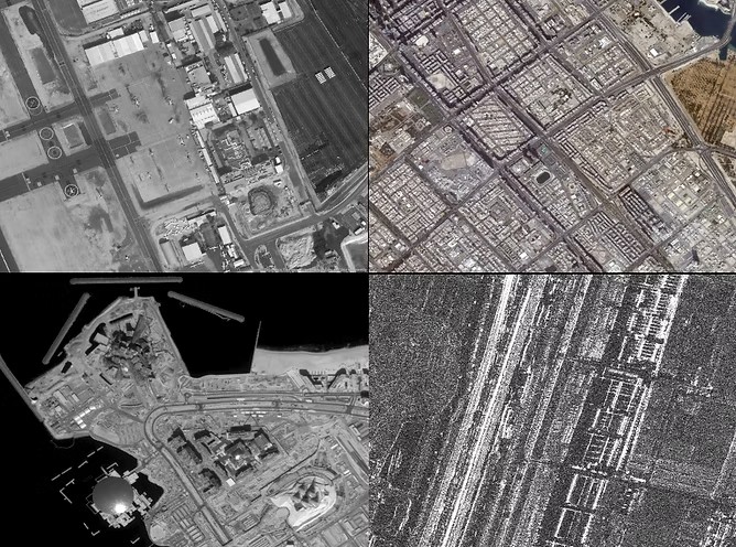
Remote Sensing Data
Optical planar remote sensing image with resolutions of 0.3m, 0.5m, 0.8m, and 1m; Optical stereo remote sensing image with resolutions of 0.3m, 0.5m, and 0.8m; SAR remote sensing image with resolutions of 0.5m, 1m, 3m, 10m, and 20m; Video remote sensing data with a resolution of 1m.
0.3m Optical Remote Sensing
0.3m resolution, 11.5 km swath width
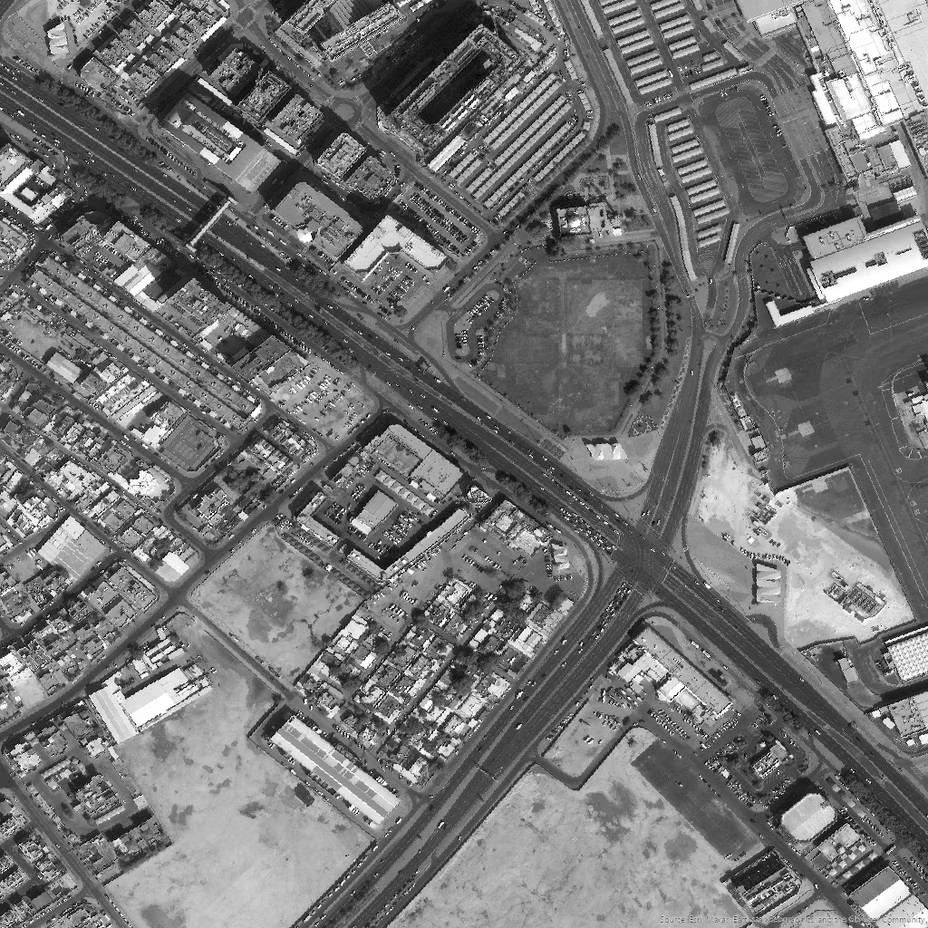
0.5m Optical Remote Sensing
0.5m resolution, 15 km swath width
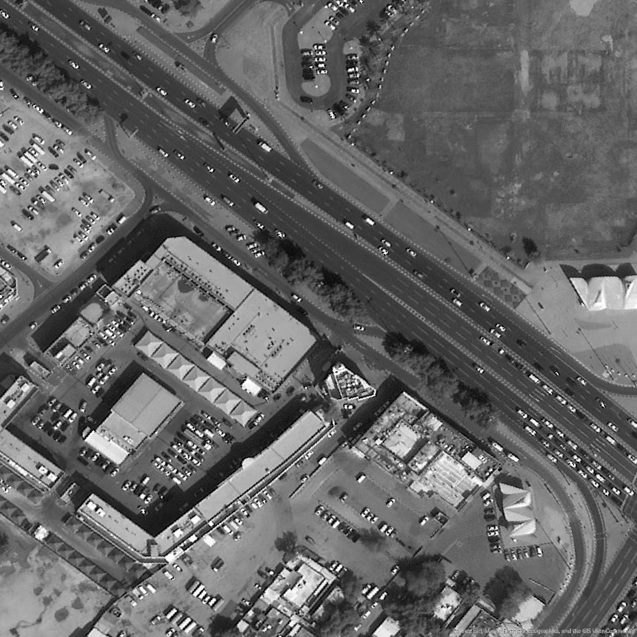
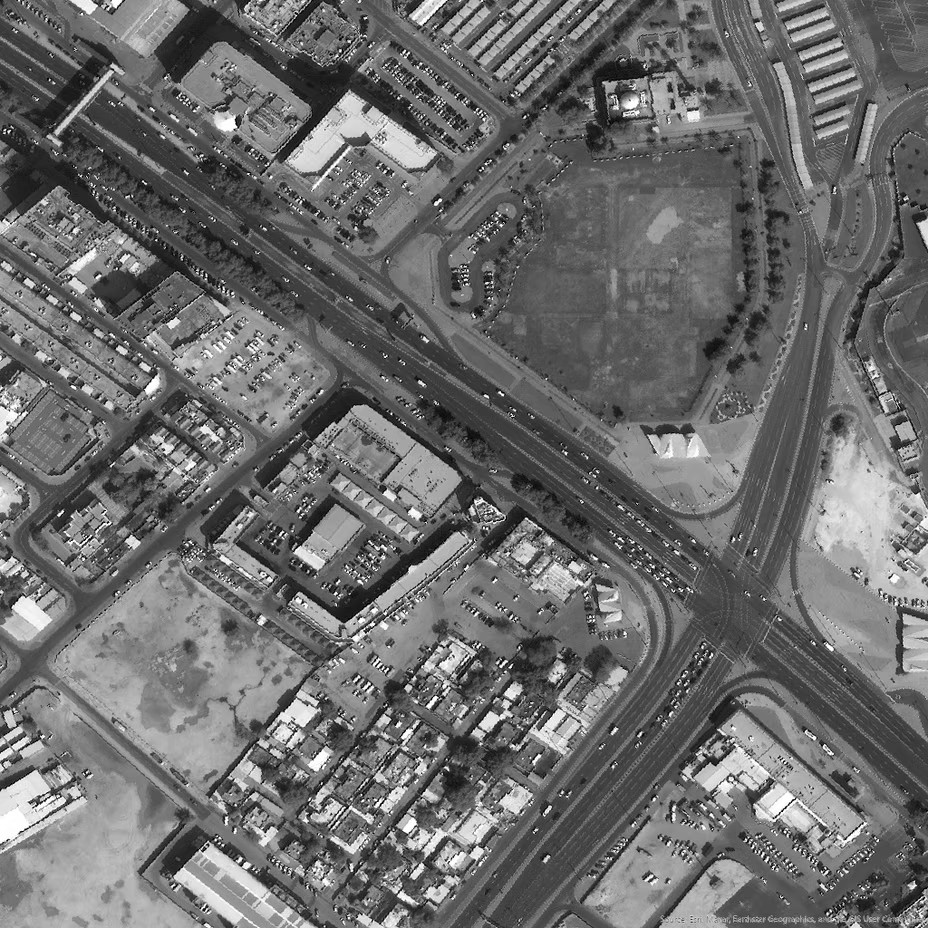
0.8m Optical Remote Sensing
0.8m resolution, 45 km swath width
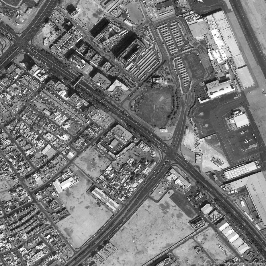
1 m Optical Remote Sensing
0.98m resolution, 17 km swath width
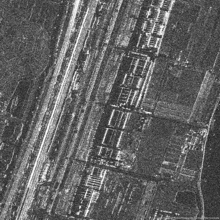
SAR Remote Sensing
0.5m resolution, 7 km swath width 3m resolution, 25 km swath width 10m resolution, 10 km swath width 12m resolution, 100 km swath width 20m resolution, 170 km swath width
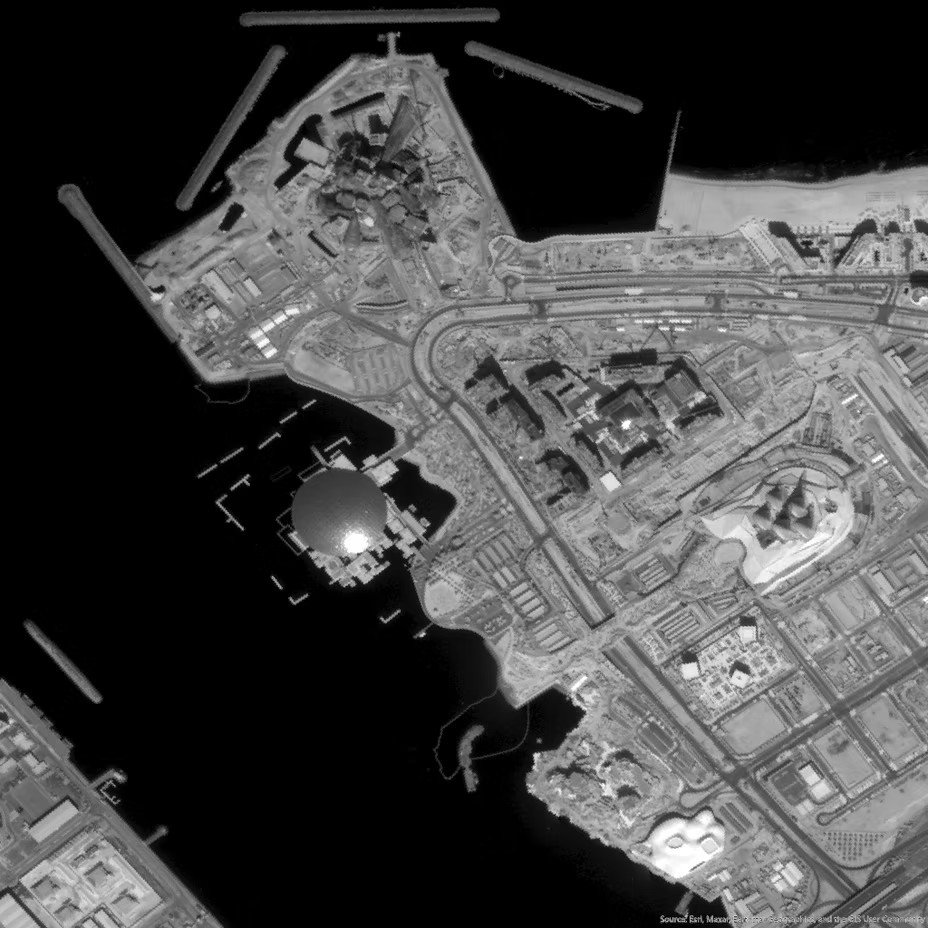
Remote Sensing Data
10m resolution, 10 km swath width
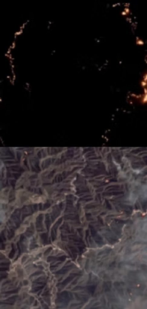
Remote Sensing Application-Smart Forestry Fire Monitoring Platform
By integrating satellite remote sensing, ground monitoring, aerial patrols, and AI-based inspection, we precisely address key challenges in wildfire prevention and suppression. Our solution enables integrated monitoring before, during, and after disasters, building an information support system that delivers early and comprehensive fire detection, dynamic and precise fire behavior prediction, intelligent firefighting command, and rapid fire damage assessment. It provides scientific, professional, intelligent, and refined services for forest and grassland fire management, crop residue burning control, and mountain fire monitoring for the power sector.

Multi-source Technology
Multi-source technical means leave no blind spots, the highest monitoring frequency can reach 5 minutes/time, and the minimum area can reach 10 square meters.

Self-developed Algorithms
Self-developed algorithms: Highly accurate and controllable algorithms trained on massive datasets to automatically detect fire points and predict fire spread direction and speed.

Technology Integration
Technology integration: Seamless automatic processing, integrating multi-source satellite data, drones, and camera systems to ensure no fire point goes undetected.

Rapid Early Warning
Multi-channel information delivery, with support for alerts via SMS, email, and other methods, enabling fast emergency response.
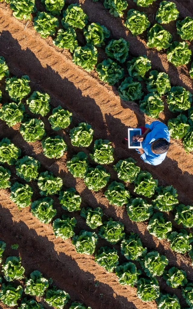
Remote Sensing Application-Precise Classification of Crops
This system integrates satellite remote sensing, GIS technology, artificial intelligence, and big data to enable precise identification and classification of crops. It monitors planting areas and crop distribution, presenting intuitive and visualized data. With powerful statistical analysis tools and interactive chart interfaces, it significantly enhances decision-making support—offering a comprehensive and intelligent solution for agricultural planning and management.

Accurate Extraction
Accurate Extraction: Capable of precisely identifying eight crop categories including rice, soybeans, corn, tubers, and tea, with rice identification achieving 100% accuracy.

Remote Sensing Technology
Remote Sensing Technology: Utilizes remote sensing technologies to support yield estimation, growth analysis, pest and disease monitoring, and more.